Adding geospatial data to postcodes
ONSPD is a dataset for business and public bodies looking to reference their spatial data by postcode.
As well as routing and delivering mail, Postcodes can provide boundaries for thematical mapping.
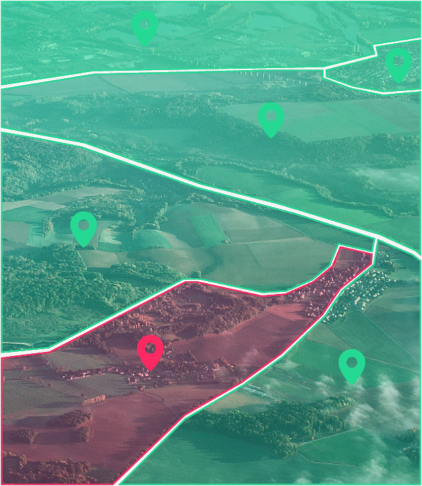
ONSPD links all current and terminated UK postcodes to a wide range of administrative, health, and other geographic areas in which each postcode falls using a point-in-polygon methodology. It helps support the production of area-based statistics from postcoded data.
This data can also be displayed on a map using postcode centroids or postcode-based polygons.
Talk to Sales


